Tuchola Jewish Cemetery
Cemetery Information
Country
Poland
Region
Kuyavian-Pomeranian
District
Tuchola
Settlement
Tuchola
Site address
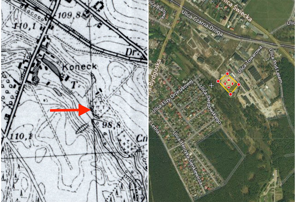
Between 4, Towarowa Street and 14, Tuchola Street.
GPS coordinates
53.5760854, 17.8730822
Perimeter length
442 meters
Is the cemetery demolished
yes
Type and height of existing fence
No fence.
Preservation condition
Demolished and overbuilt Jewish cemetery
General site condition
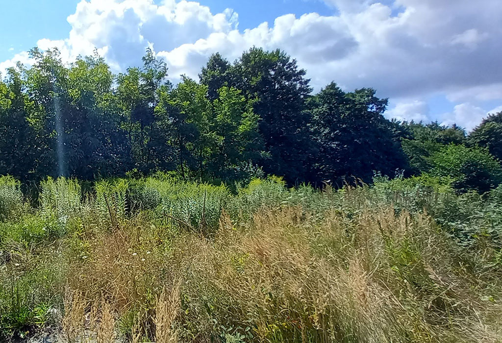
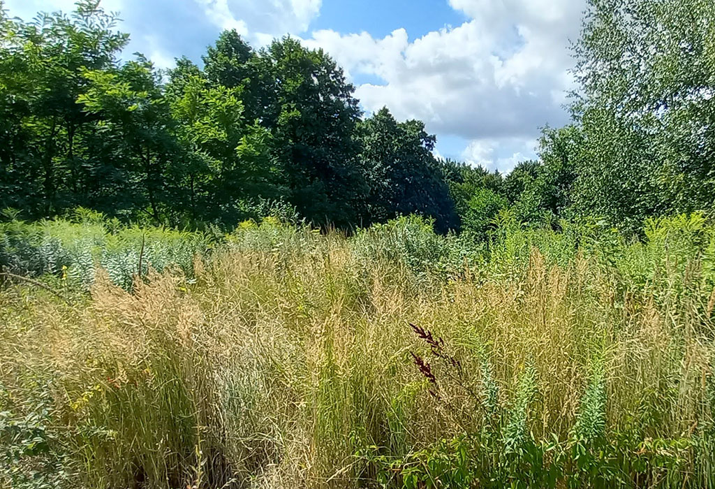
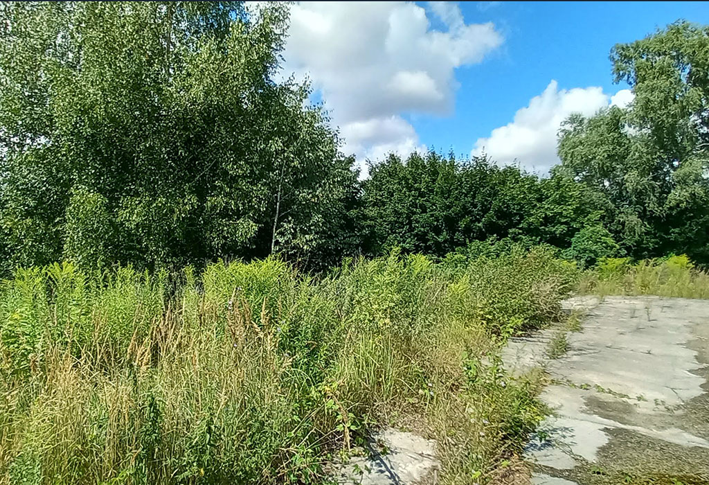
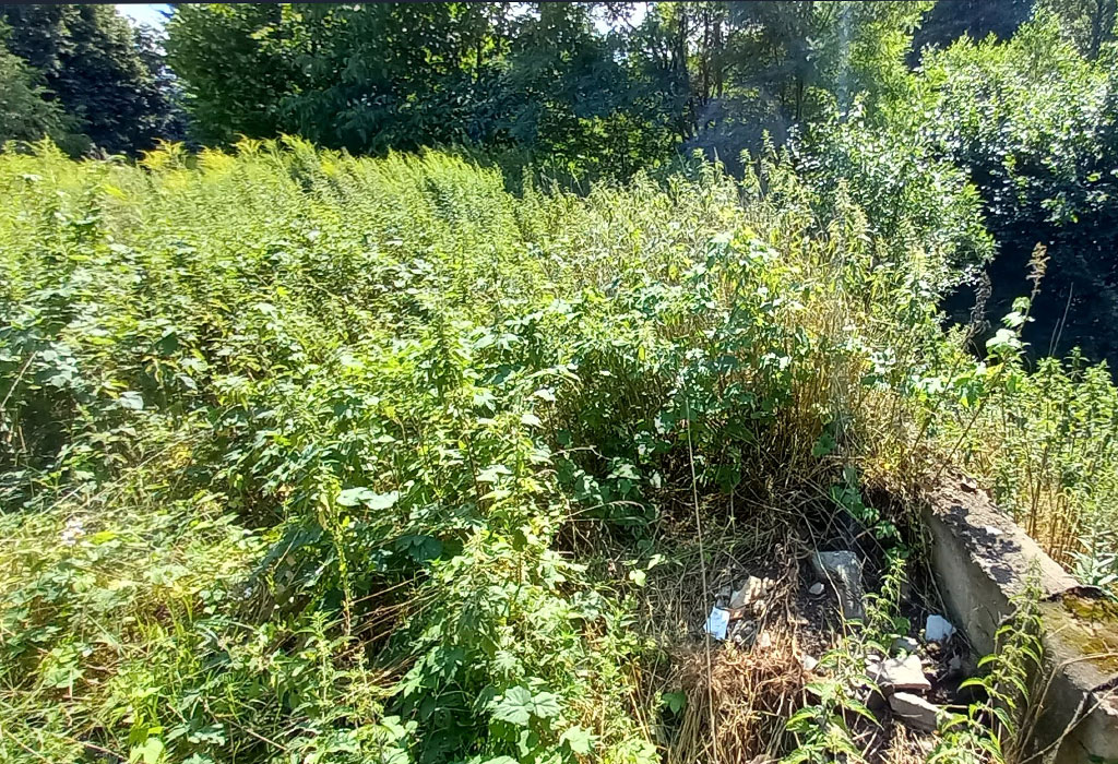
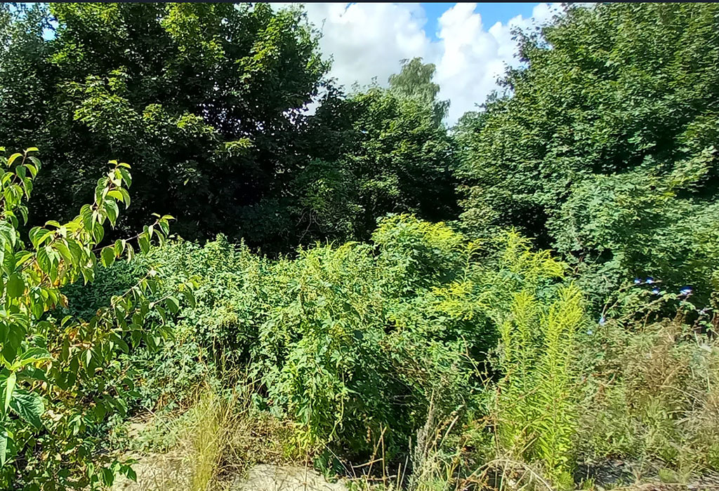
There are transport and electric enterprises located on the cemetery’s land, a part of it is an overgrown wasteland in the territory of the enterprises.
Number of existing gravestones
No tombstones preserved.
Date of oldest tombstone
N/A
Date of newest tombstone
N/A
Urgency of erecting a fence
Fence is not needed
Land ownership
Private
Preserved construction on site
No
Drone surveys
No
Historical overview
The cemetery located near the Kicz River off the road leading to Rudzki Bridge (now Towarowa Street), during the interwar period (1920-1939) had four sections separated by alleys. Tuchola County residents as well as Russian captives of Jewish descent detained in a local camp were buried there. The cemetery was liquidated during WWII. After the war, the site became the Tuchola Country Transport Cooperative.