Tac Jewish Cemetery
Cemetery Information
Country
Hungary
Region
Fejér
District
Székesfehérvári
Settlement
Tác
Site address
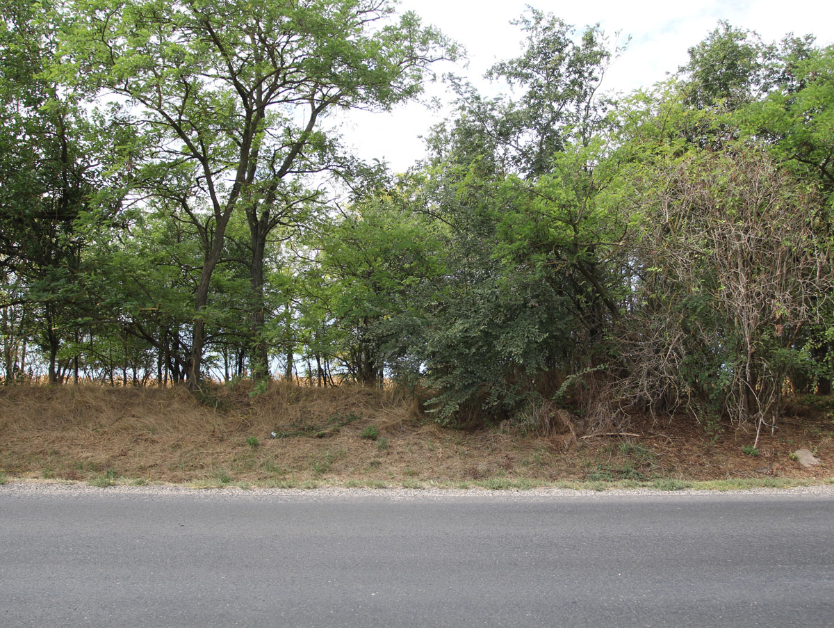
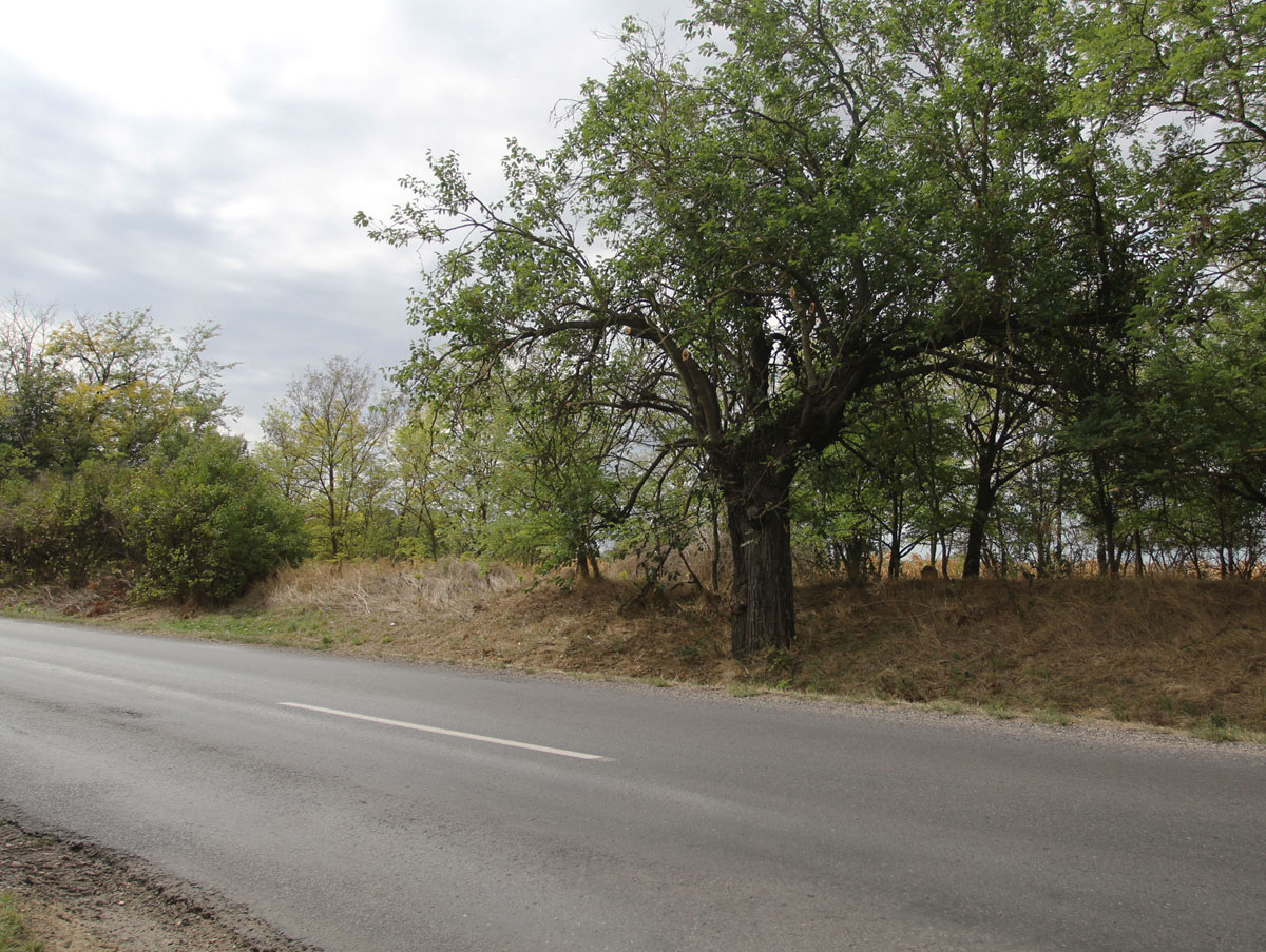
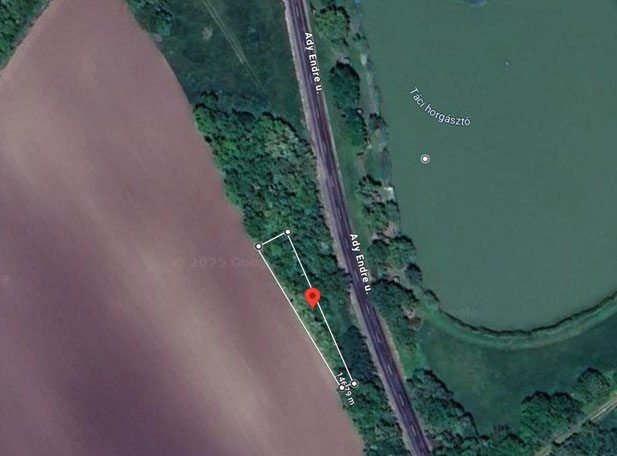
Ady Endre Street – 210 meters South from the 49, Ady Endre Street, on the Western side of the road.
GPS coordinates
47.07414, 18.4145
Perimeter length
146 metres
Is the cemetery demolished
no
Type and height of existing fence
No fence
Preservation condition
Unfenced Jewish cemetery
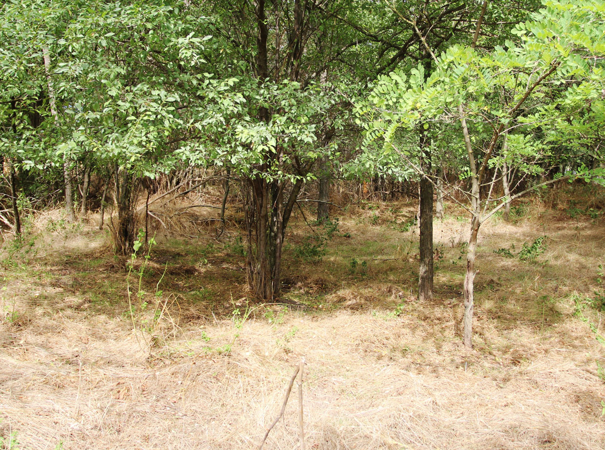
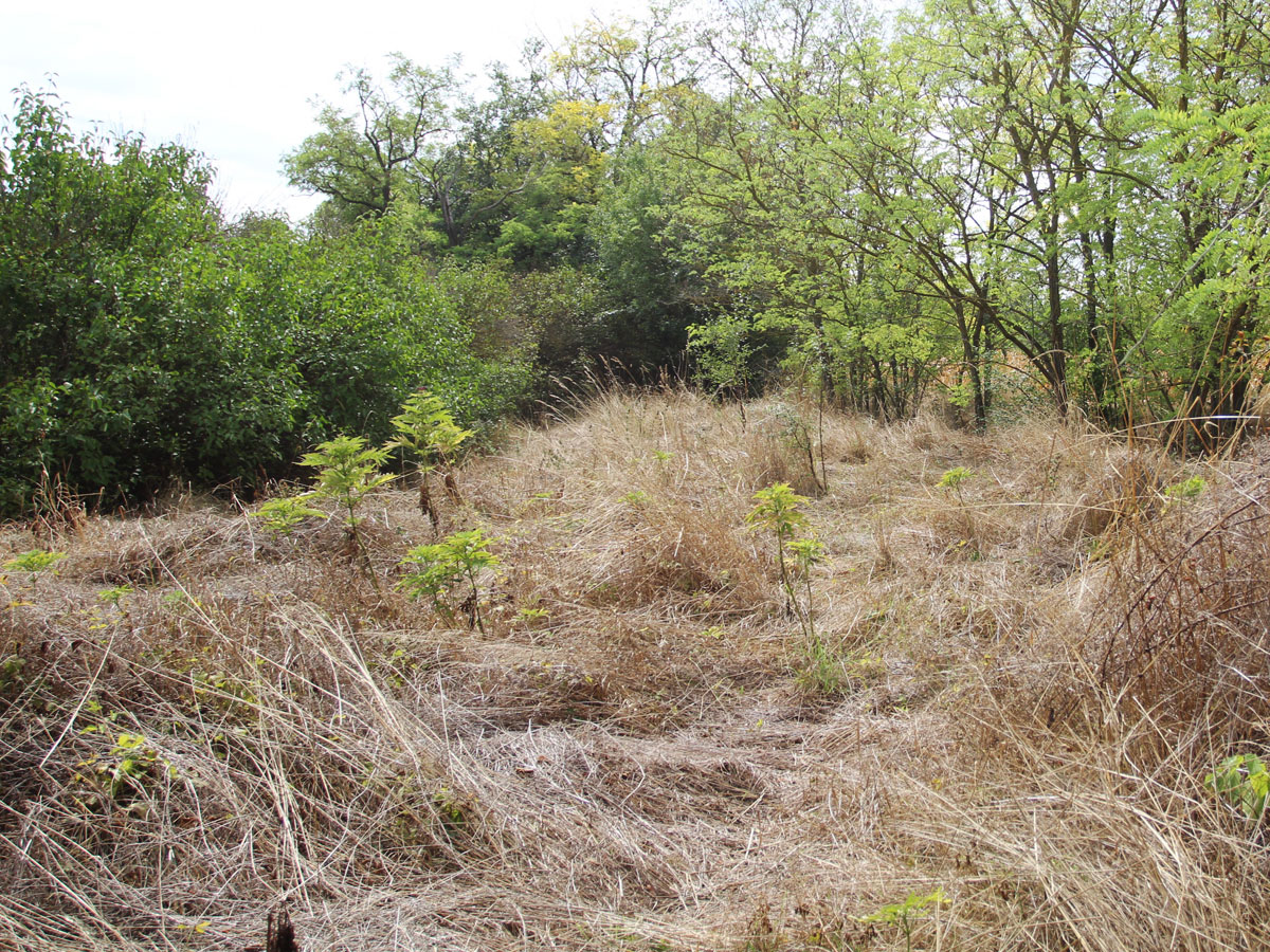
General site condition
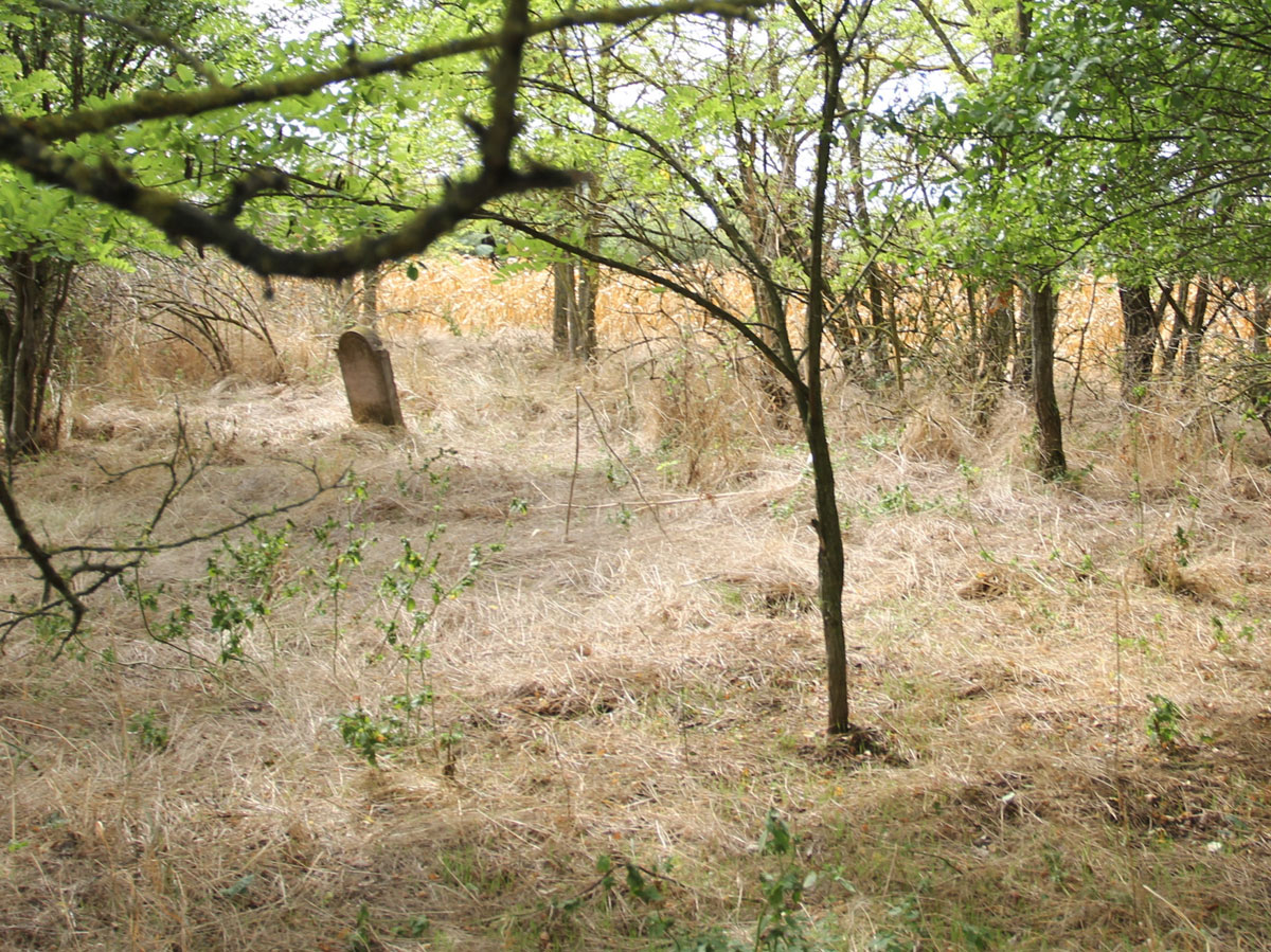
The cemetery is neglected, but savable. The ground is uneven. Traces of the effort to keep it tidy are visible, but the result is doubtful.
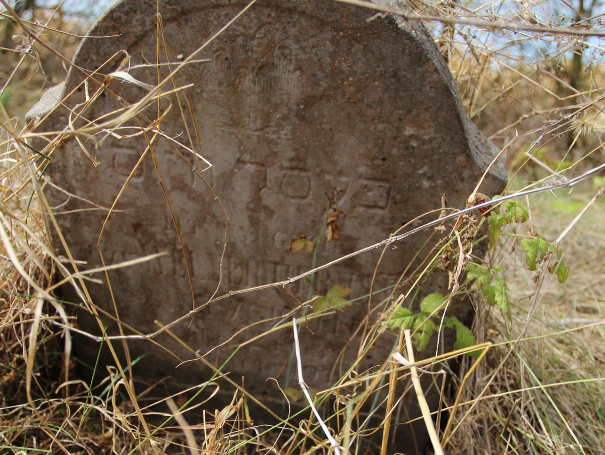
Number of existing gravestones
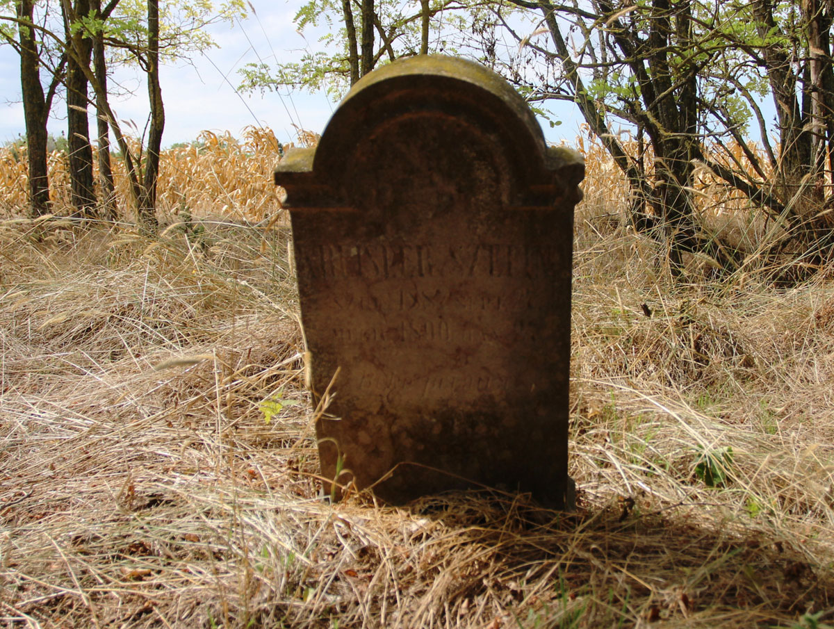
2
Date of oldest tombstone
1890
Date of newest tombstone
Urgency of erecting a fence
High
Land ownership
Other
Preserved construction on site
Drone surveys
Yes