Tabajd Jewish Cemetery
Cemetery Information
Country
Hungary
Region
Fejér
District
Bicskei
Settlement
Tabajd
Site address
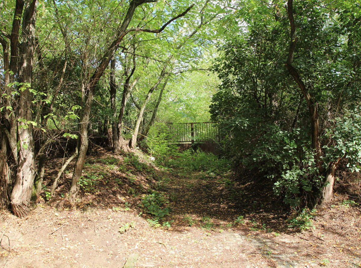
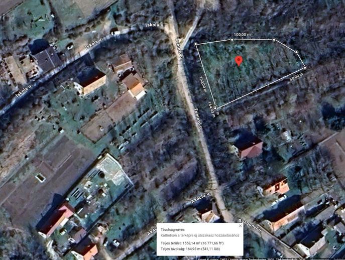
Temető utca, South-East part of the intersection with Iskola Street. (There is a gate 40 meters in front of the village cemetery, you have to go towards it and then turn right and go up a staircase with a yellow railing).
GPS coordinates
47.40599, 18.63134
Perimeter length
165 metres
Is the cemetery demolished
no
Type and height of existing fence
No fence
Preservation condition
Unfenced Jewish cemetery
General site condition
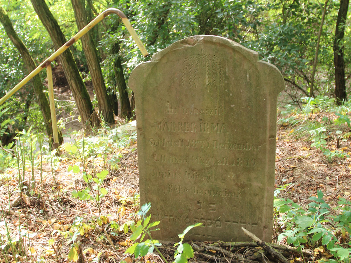
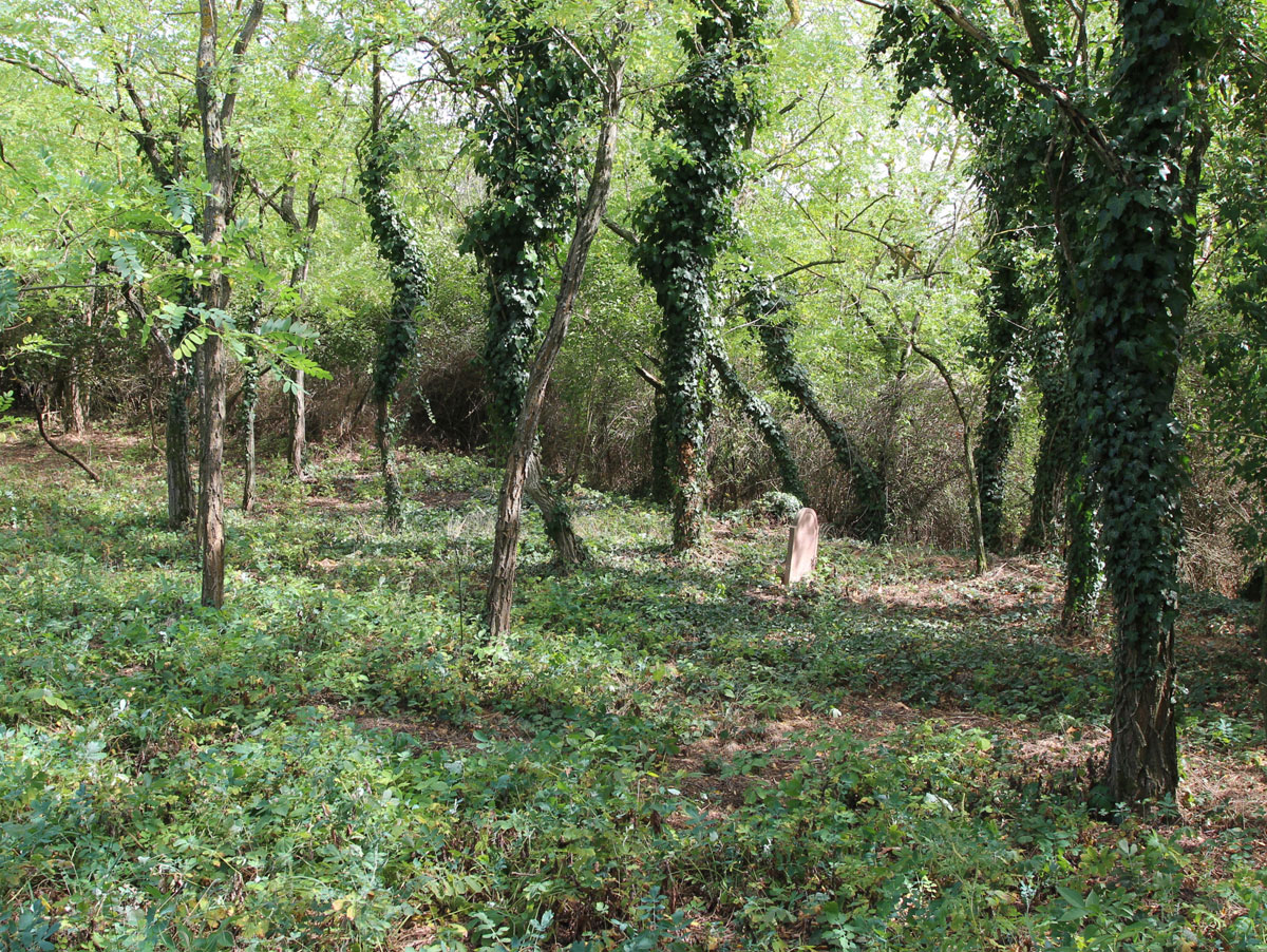
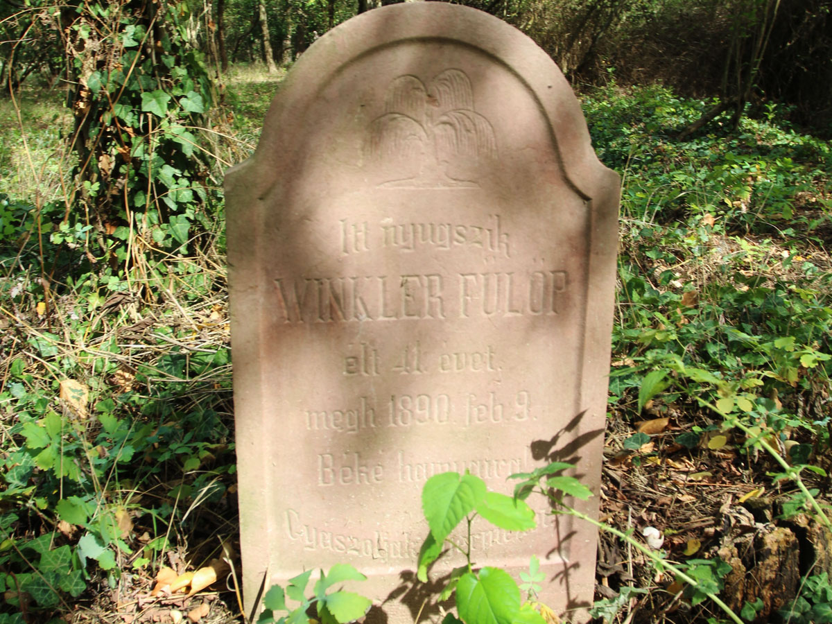
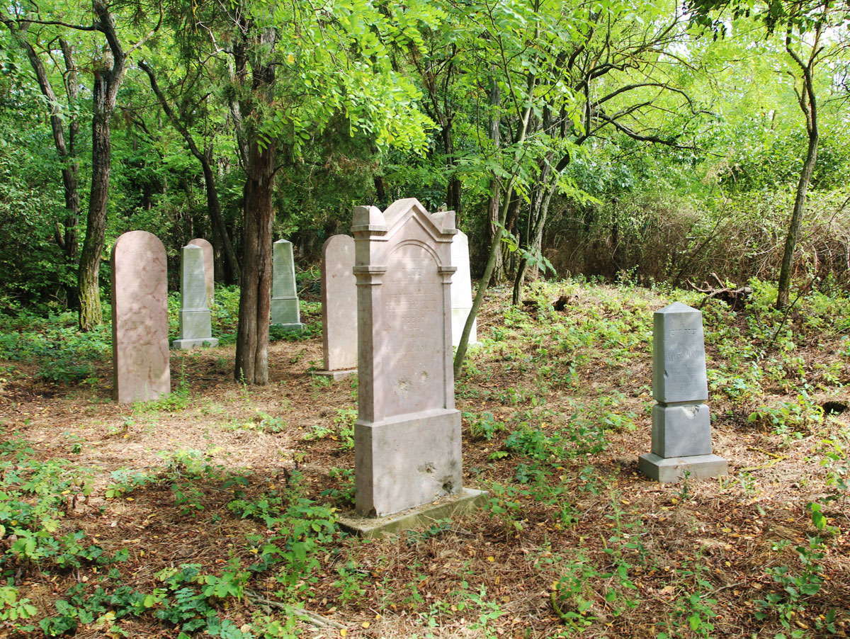
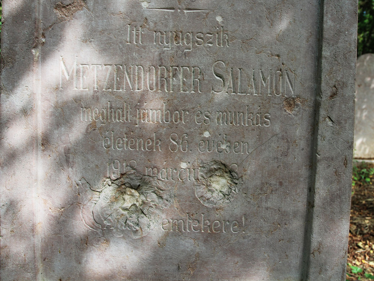
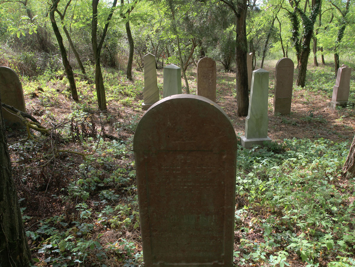
The cemetery is located on a plateau. In the western part there are three children's graves, there is also a larger cavity here. At the eastern end of the cemetery there are 10 cleaned, renovated, restored tombstones. Several bullet marks are visible on one tombstone. Overall, it is tidy, overgrown with vegetation according to the season. A deer lives in the cemetery. Founded in 1896.
Number of existing gravestones
13
Date of oldest tombstone
1879
Date of newest tombstone
1918
Urgency of erecting a fence
High
Land ownership
Property of local community
Preserved construction on site
Drone surveys
Yes