Stara Lehota Jewish Cemetery
Cemetery Information
Country
Slovakia
Region
Trenčin
District
Nové Mesto and Váhom
Settlement
Stará Lehota
Site address
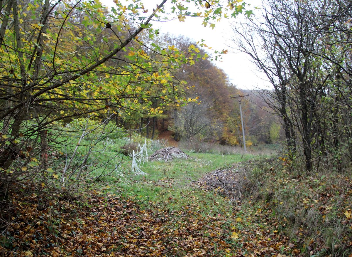
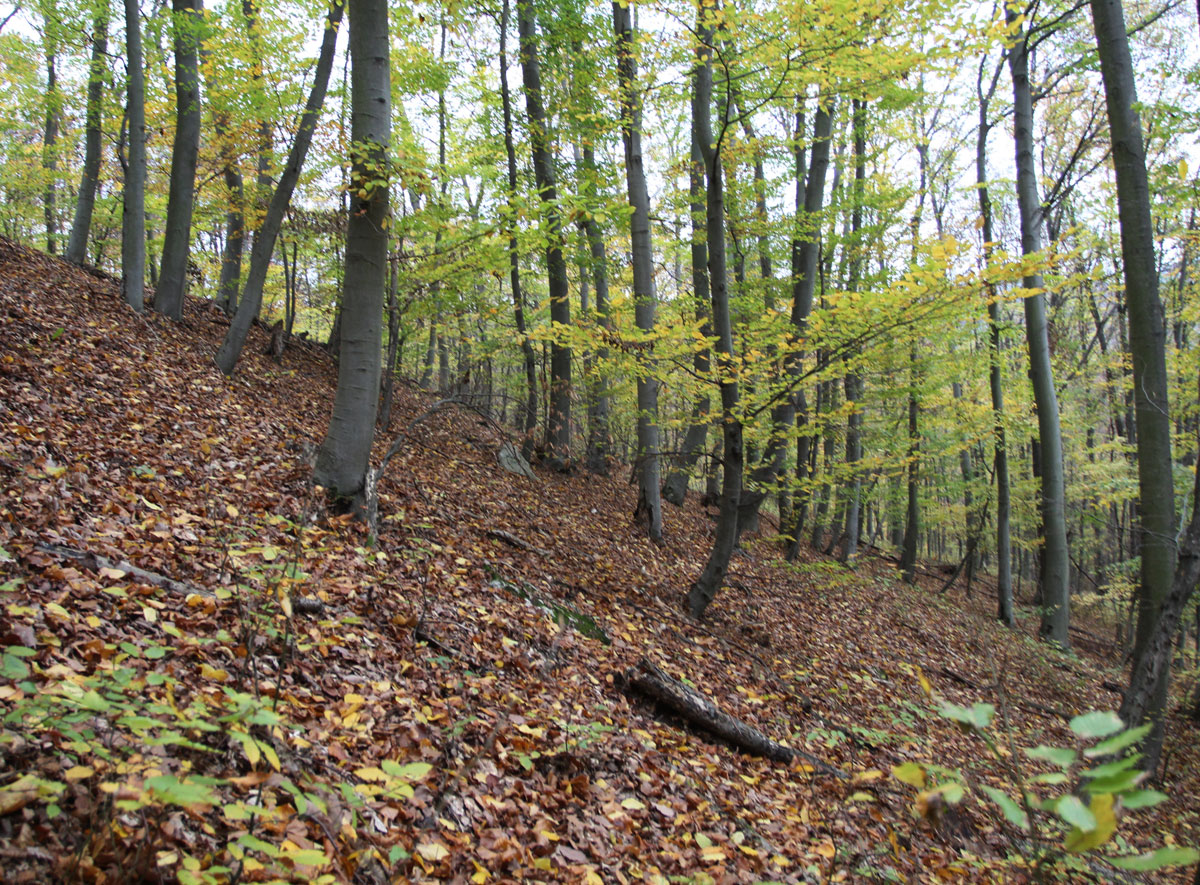
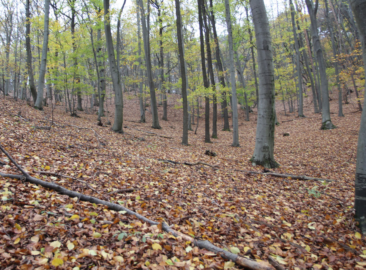
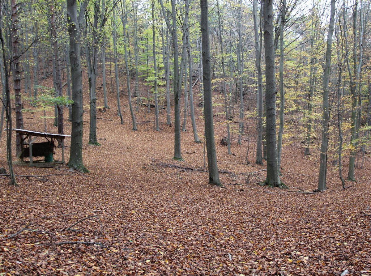
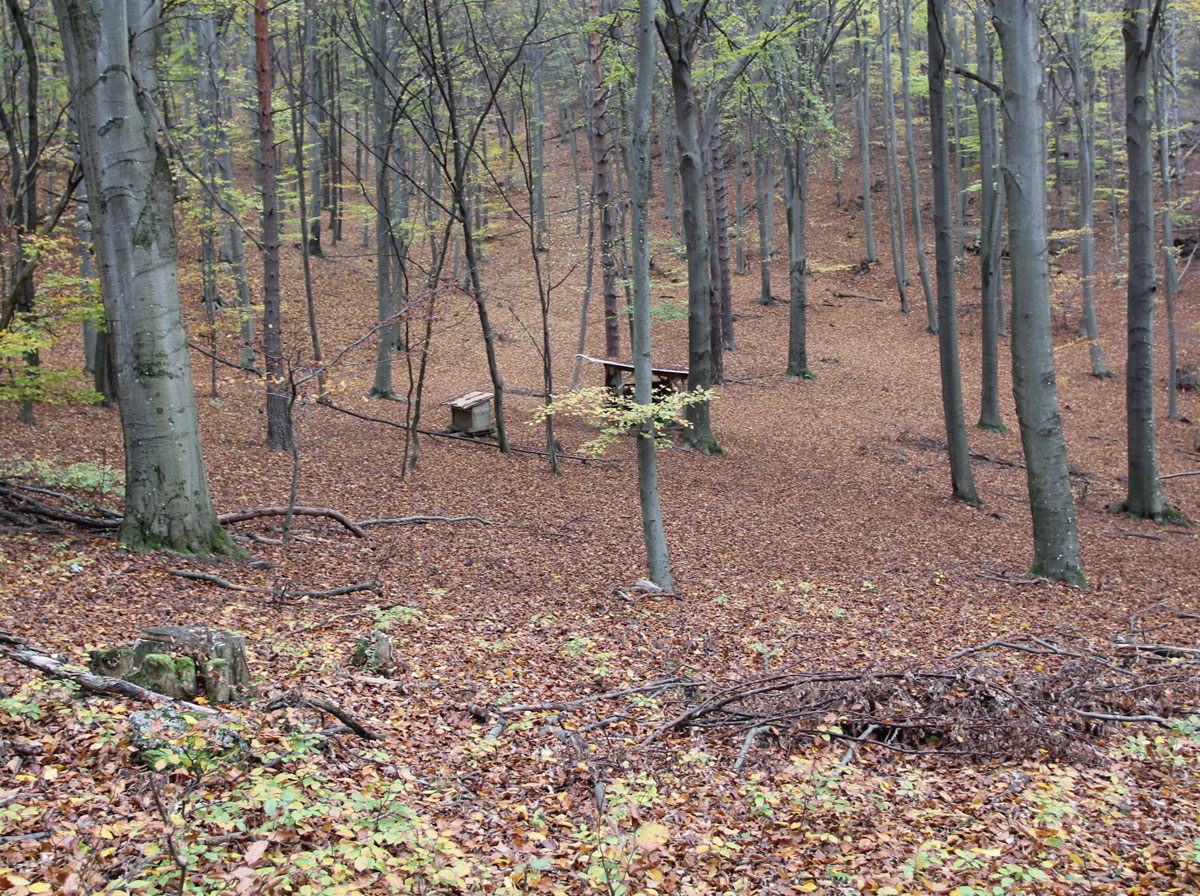
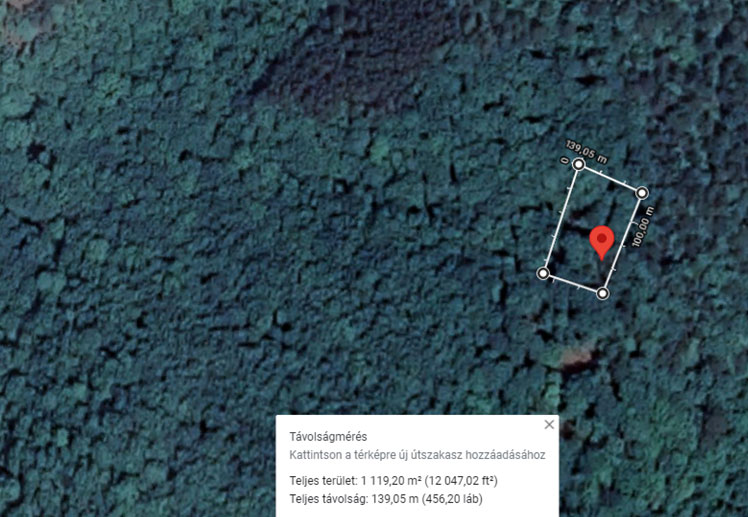
The Jewish cemetery was in the middle of the forrest, in the valley.
GPS coordinates
48.65413, 17.9329
Perimeter length
139 metres
Is the cemetery demolished
no
Type and height of existing fence
No fence.
Preservation condition
Demolished Jewish cemetery that has not been built over
General site condition
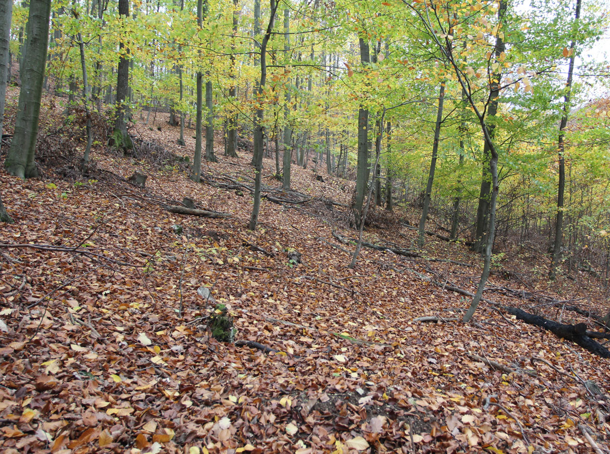
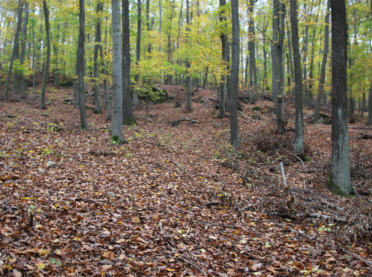
The area located in the middle of the forest, there no traces of the cemetery. At a height difference of 2,000 meters, we found nothing.
Number of existing gravestones
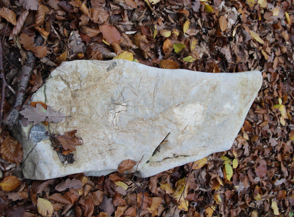
No tombstones preserved.
Date of oldest tombstone
Date of newest tombstone
Urgency of erecting a fence
High
Land ownership
Property of local community
Preserved construction on site
No
Drone surveys
No