Rackeresztur Jewish Cemetery
Cemetery Information
Country
Hungary
Region
Fejér
District
Martonvásári
Settlement
Ráckeresztúr
Site address
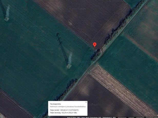
470 meter North-East from the last house on Hóvirág Street.
GPS coordinates
47.27063, 18.85215
Perimeter length
unknown
Is the cemetery demolished
yes
Type and height of existing fence
No fence
Preservation condition
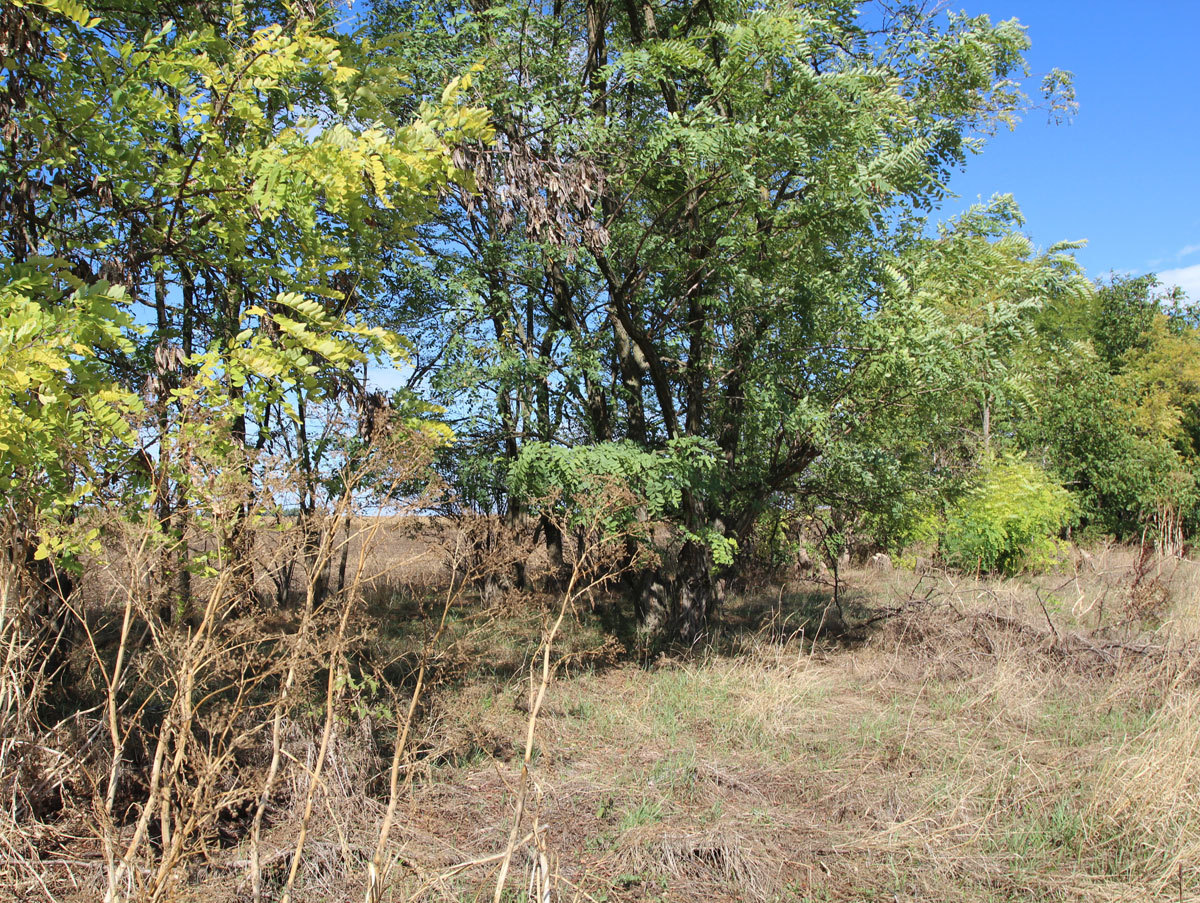
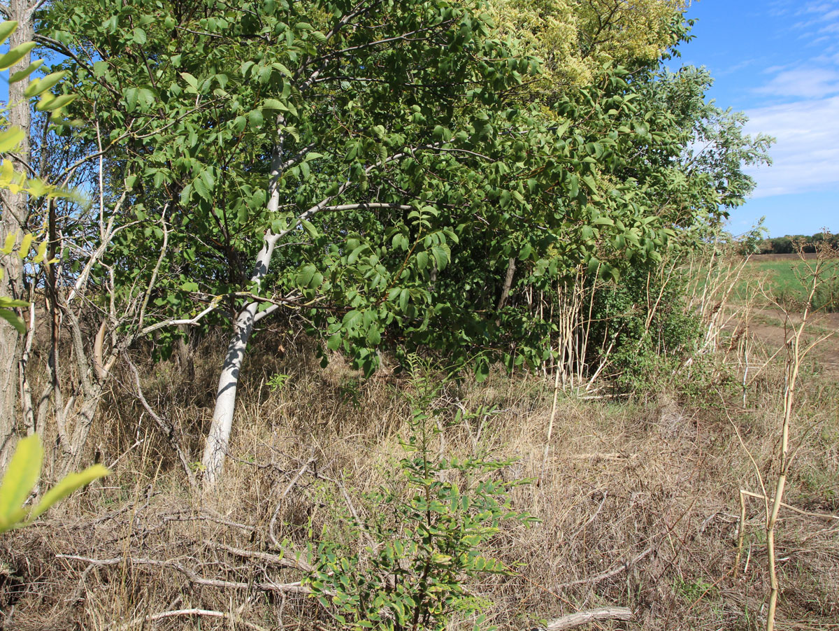
Demolished Jewish cemetery that has not been built over
General site condition
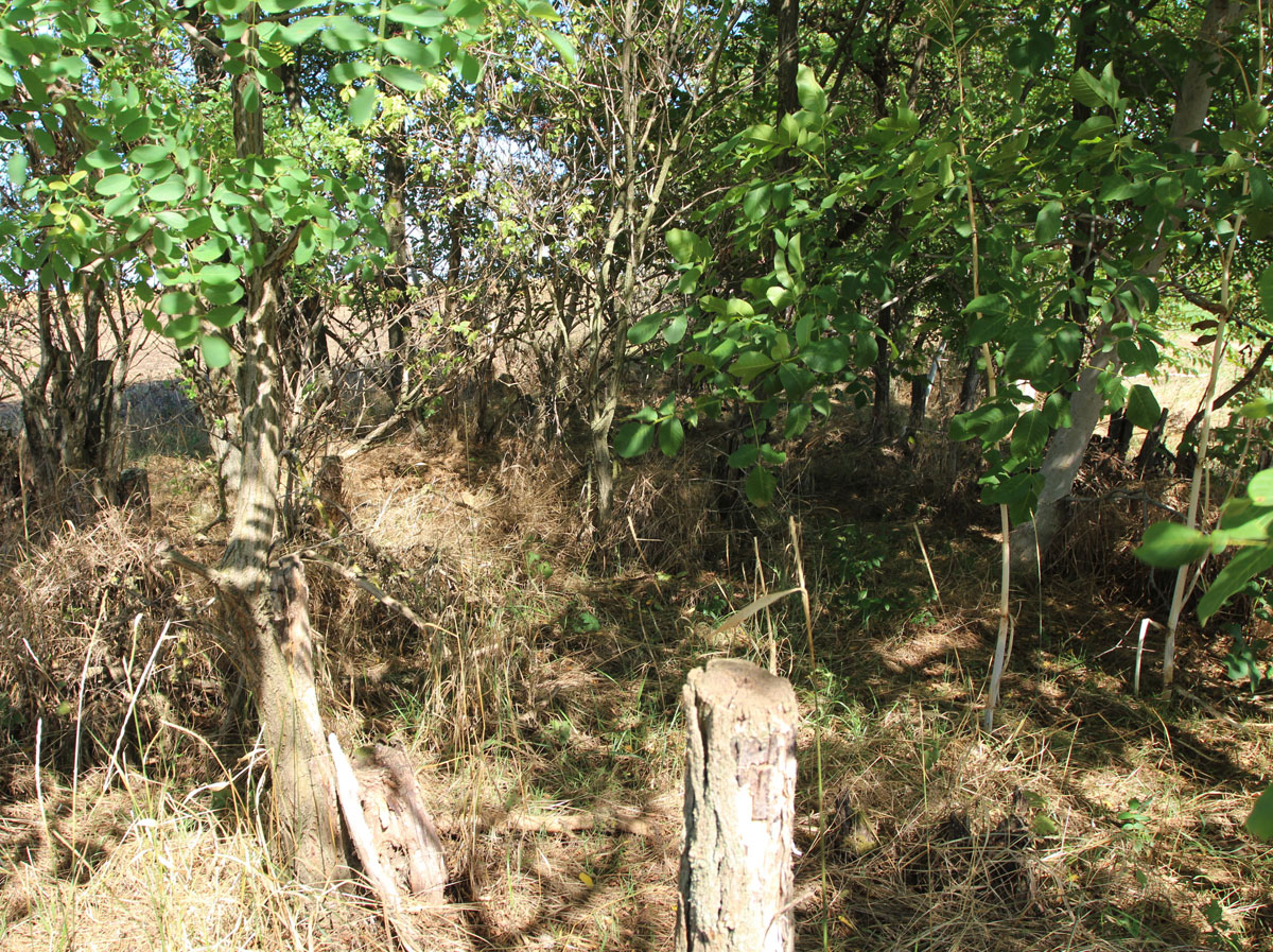
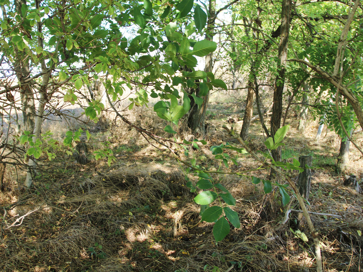
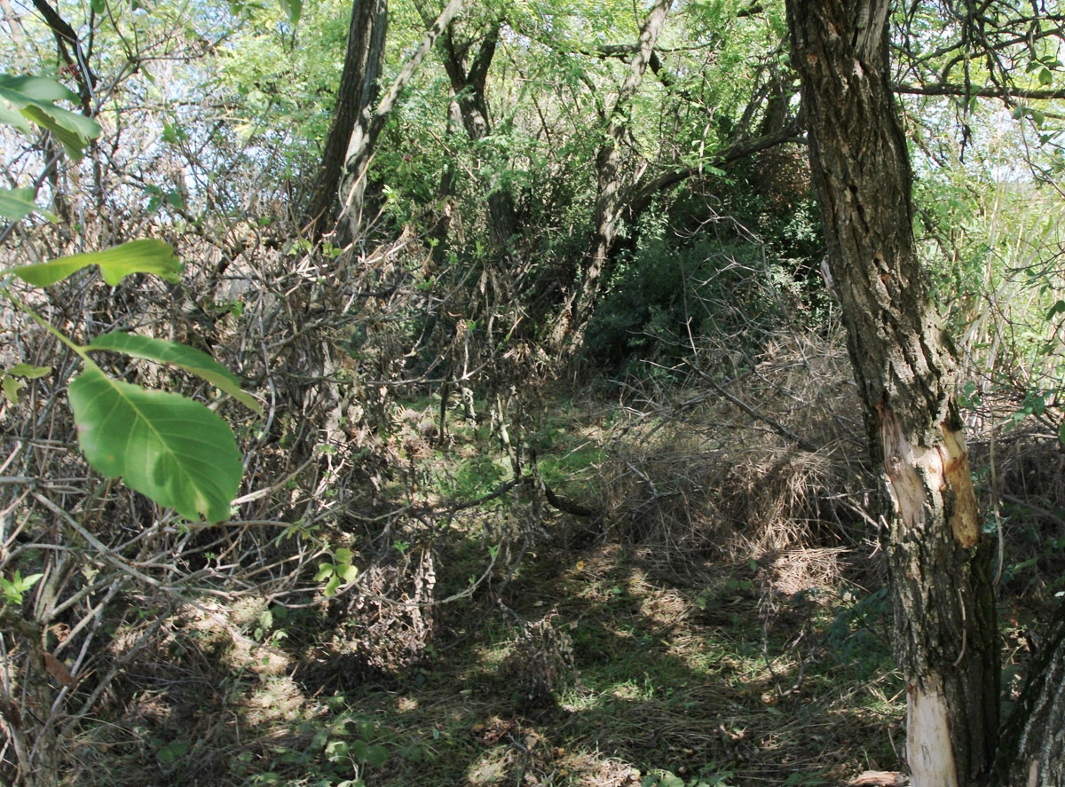
It is quite certain that the cemetery was liquidated, because the area is arable land, with a characteristic bushy forested narrow strip on the edge, the task of which is to protect against the wind.
Number of existing gravestones
No tombstones preserved.
Date of oldest tombstone
Date of newest tombstone
Urgency of erecting a fence
High
Land ownership
Other
Preserved construction on site
Drone surveys
Yes