Mokrin Jewish Cemetery
Cemetery Information
Country
Serbia
Region
Vojvodina
District
North Banat
Settlement
Mokrin
Site address
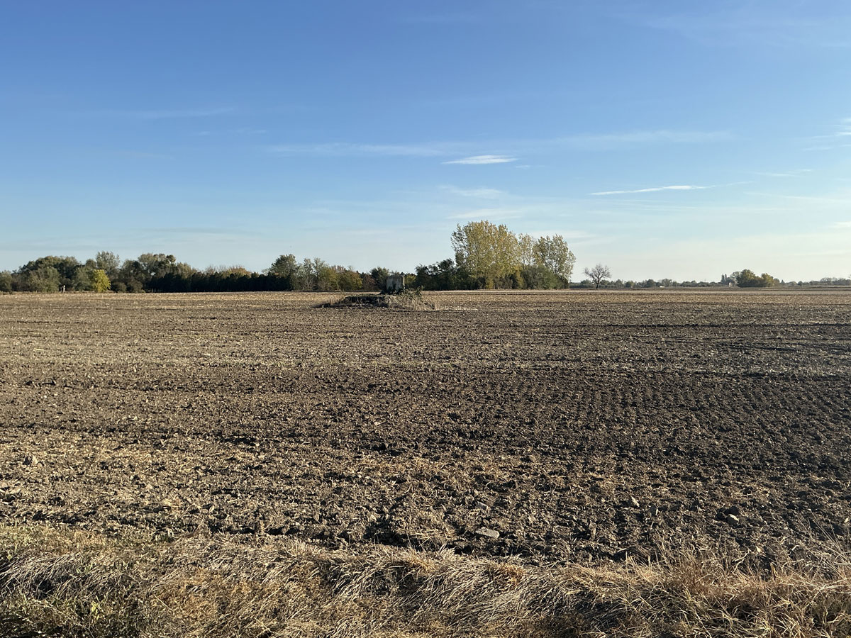
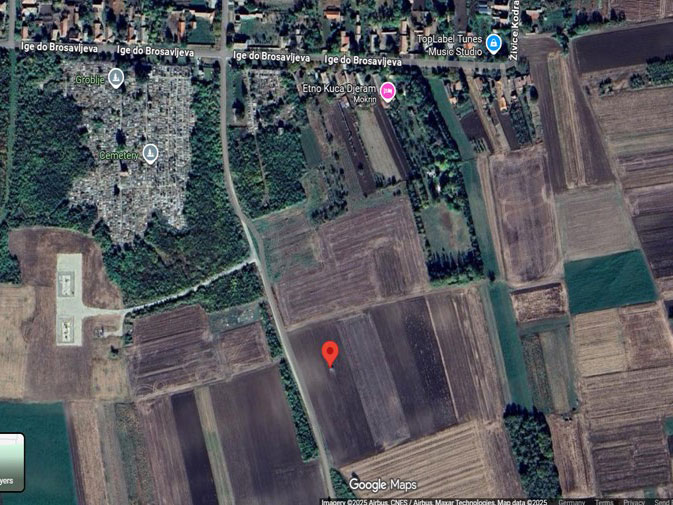
150 metres south from the municipal cemetery, in the field, left side of the road.
GPS coordinates
45.924668, 20.417590
Perimeter length
unknown
Is the cemetery demolished
no
Type and height of existing fence
No fence
Preservation condition
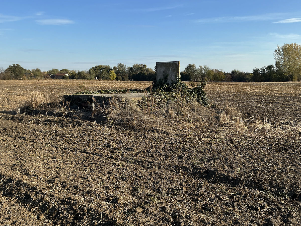
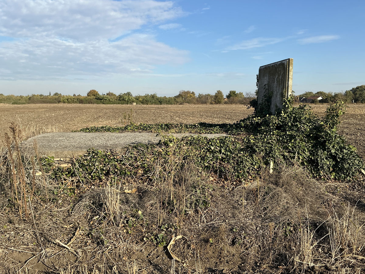
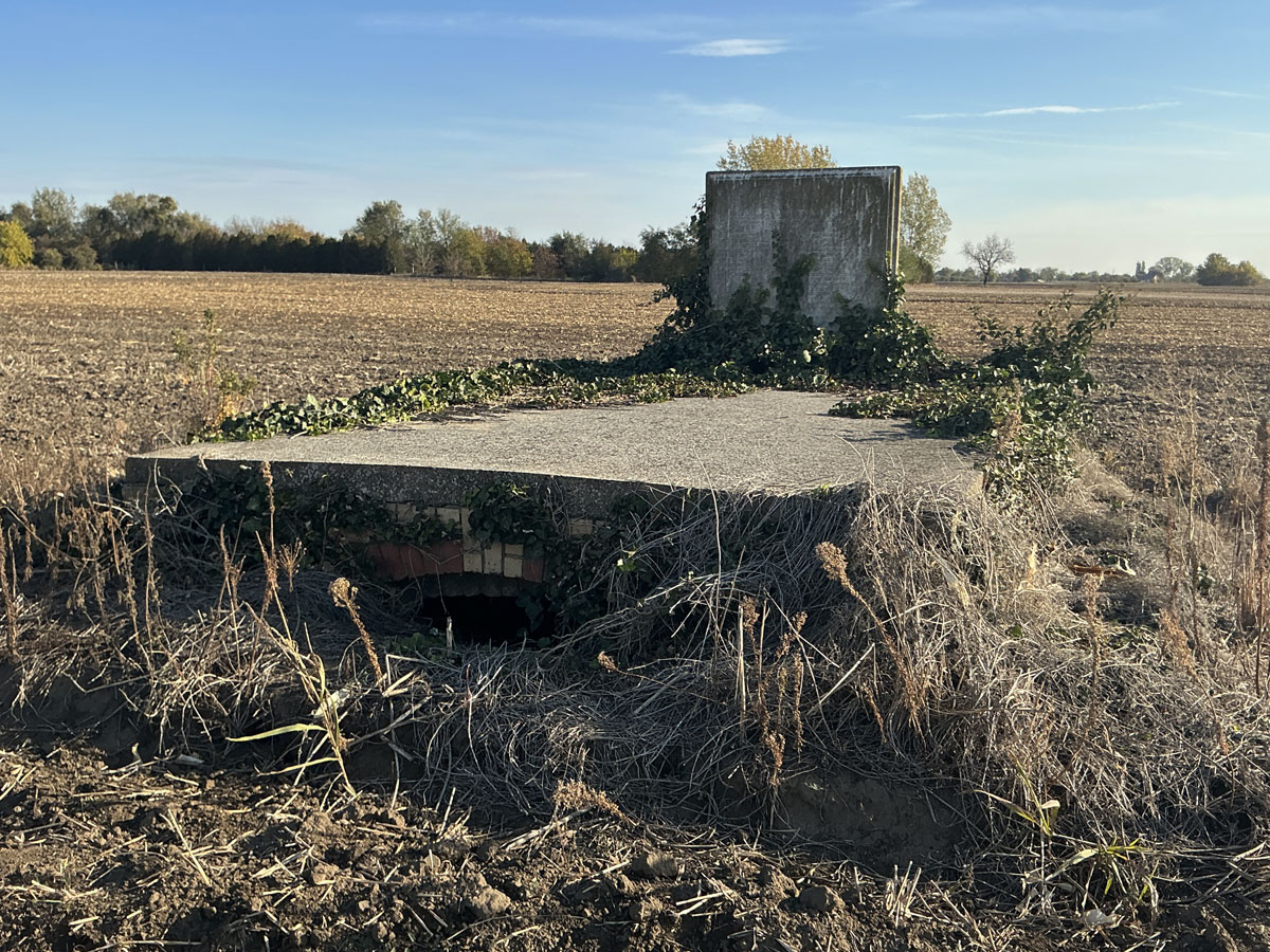
Demolished Jewish cemetery that has not been built over
General site condition
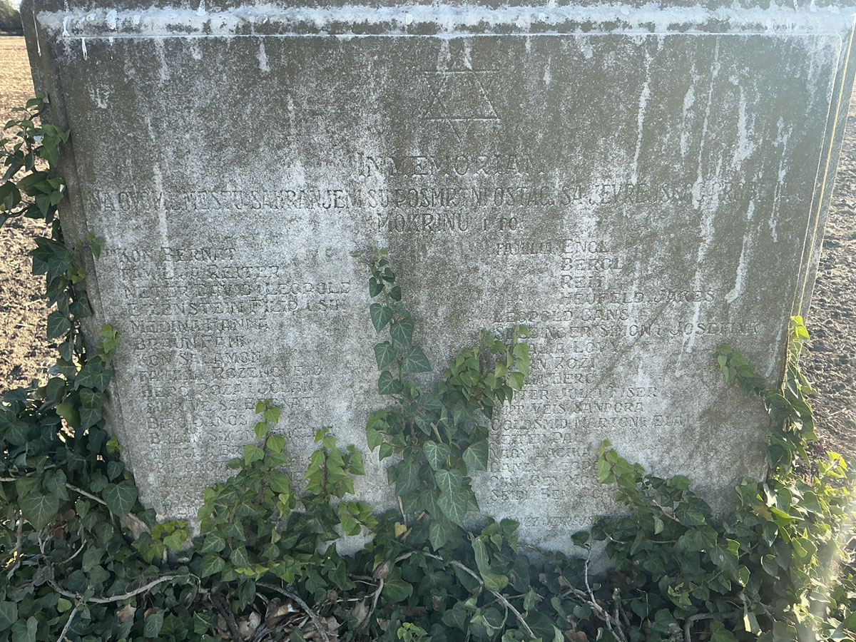
The cemetery was completely destroyed and the area is used as an agricultural field. The memorial was installed there to commemorate the destroyed cemetery.
Number of existing gravestones
No tombstones preserved.
Date of oldest tombstone
Date of newest tombstone
Urgency of erecting a fence
High
Land ownership
Other
Preserved construction on site
Drone surveys
No